Saturday, April 27, 2024
TODAY’S WEATHER DISCUSSION AND FORECAST
..Good Morning.
..Today in the Deer Lodge Park area, the FS is doing a control burn. So if you see light smoke from that area don’t be alarmed.
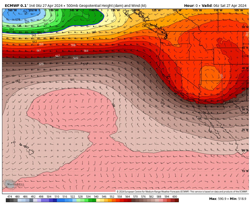
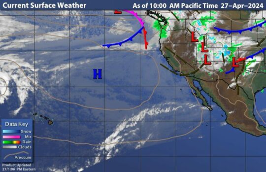
..This morning we have clearing skies as yesterday’s area of Low pressure moves East. The Low has now moved to the Continental Divide Region bringing rain and snow to the Denver area as it moves into the mid West.
..Here we will be warming up slowly with mostly clear skies later today as High pressure now over the Pacific to our West, expands towards SoCal.
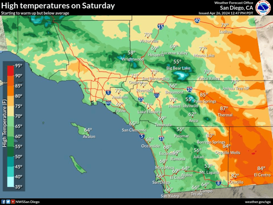
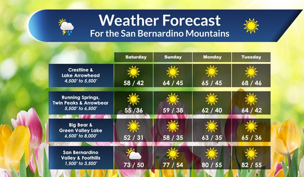
..By tomorrow it will really begin to feel like Spring as temperatures will begin to warm up to the upper 50s, to low 60s in the warmer areas across the Mountain.
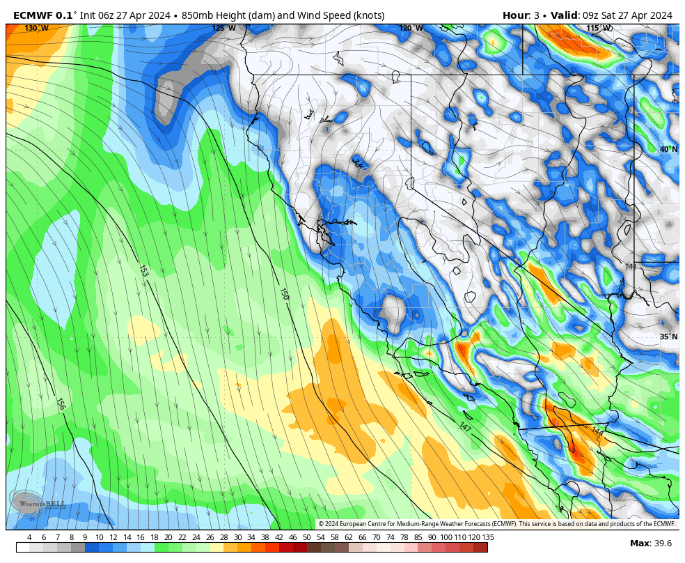
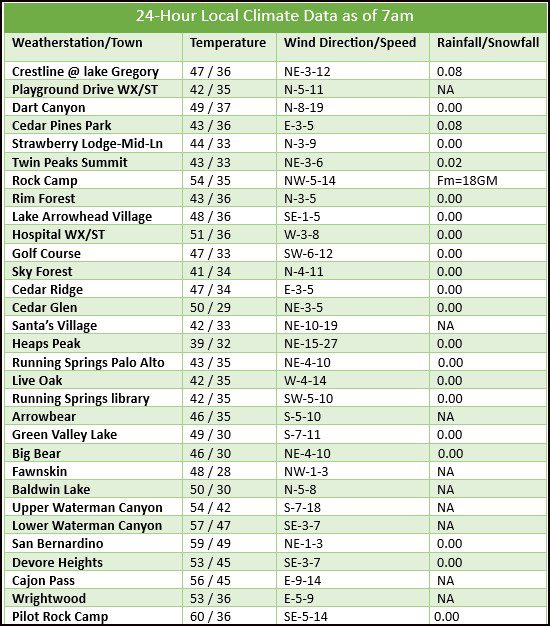
..Gusty winds will develop today as we transition to High pressure across the southland. The upper Deserts could see NNW winds from 20-50mph today. Locally the winds will be from 10-20mph for most areas except the local passes where the winds will be from ~20-30mph.
..LOOKING AHEAD:
..As we head into next week, temperatures will continue to warm up into the mid to upper 60s for the mountains and into the low 80s by mid week for the Valley.
..High pressure will be our main weather feature for the next five to seven days with winds at times along with warmer temperatures. No rain is expected through next Friday.
..CRYSTAL BALL OUITLOOK:
..The next chance for any rain will be next weekend as the long range outlook is favoring today.
..My weather forecasts are derived from what I feel is the most probable outlook for our area. RC